EPA’s Mitigation Menu homepage
***The EPA’s Pesticide App for Label Mitigations (PALM)-Runoff/Erosion calculator is a user-friendly mobile app that helps you understand and calculate runoff mitigation points. Click the link above to get started.***
For pesticide products that might harm critical areas or listed species through runoff or erosion from treated fields, EPA has proposed several mitigation options. EPA assigned each option a certain number of “points” based on its effectiveness. Pesticide labels and Bulletins Live! Two may list runoff/erosion points that growers need to have in place to use that product. Total points required will range from 0 to 9 and are determined by how likely the pesticide is to contaminate water and harm endangered species.
Pesticide labels will include a website link to the EPA’s Mitigation Menu, which helps you identify what options you can pick for your field. The Mitigation Menu details each measure, how to use it, and the minimum standards for each. Many mitigation or conservation measures will be familiar to you, and credits can be earned for measures you are already implementing that meet standards.
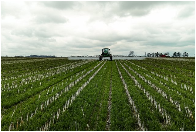
Cover crops can be used as a runoff mitigation measure. Photo by USDA.
Some field conditions will mean that no runoff/erosion mitigation points are needed. A list of these conditions is found on the EPA’s mitigation menu. If your fields do not meet these conditions, you must have at least the number of points listed on the label or on Bulletins Live! Two, whichever is higher for your location. An Excel calculator (scroll down to “Runoff/Erosion Mitigation Options” on the Mitigation Menu page) is available to track measures and credits for each target site. Keeping a record of your mitigation actions is an easy way to earn one point.
EPA also offers mitigation relief points in areas with a lower risk of runoff or erosion based on geographic characteristics. Counties with medium runoff vulnerability will earn 2 relief points, those with low vulnerability will receive 3 points, and counties with very low vulnerability will get 6 points. Relief points will reduce mitigation requirements for about 80% of cultivated agricultural acres and 95% of acres for specialty and minor crop production. Click here for the County list (each of the lower 48 states is listed alphabetically). A color-coded county list and map for North Carolina is located here.